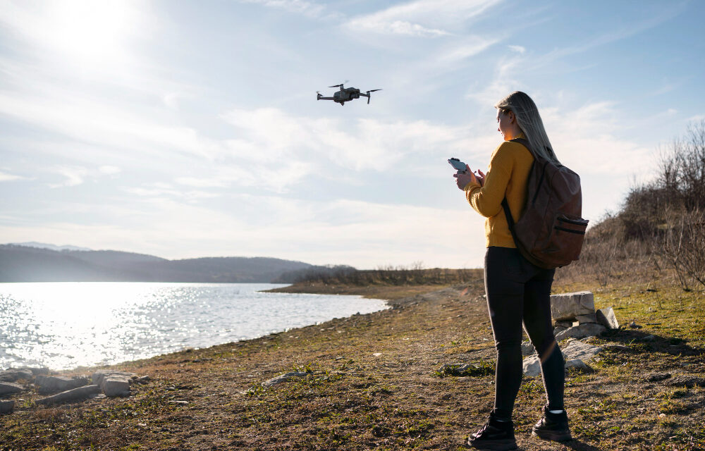
With the rapid increase in technology in the 21st century, the usage of devices such as UAV Thermal Cameras has gone up a lot. These drones have many uses that may not be humanly possible.
For instance, take altitude sensors in drones. These are used to measure the height at which a drone is flying or of their surroundings.
Let us now learn more about them below.
What do you mean by altitude sensors in drones?
These sensors help to measure the height of an object, usually above sea level.
They are generally of the following types:
Barometric altimeters
These generally measure atmospheric pressure. So you might wonder how these altitude sensors in drones help measure the height of an object.
They map the changes in atmospheric pressure since it varies as per the height of the atmosphere.
GPS Altimeters
These altimeters send out and receive satellite signals. This is done to map the height of the drone in question. These altimeters are not as accurate as the other altimeters. But, they are still reliable.
LiDar Altimeters
These Light Detection and Ranging altimeters emit laser pulses toward the ground. They measure the time these laser pulses take to return to the ground.
This helps them gauge the distance between the drone and the object accurately.
Infrared Altimeters
These altitude sensors in drones emit infrared pulses toward the ground.
They map the time taken for the light to reflect from the ground. This helps them map the distance between the drone and the ground.
The speed of light remains constant. So, the time it takes for the light to reflect back to the drone makes it easy to find the distance.
Ultrasonic Altimeters
These send out ultrasonic pulses toward the ground. The delay for the pulses to return helps them map the distance between the ground and the drone accurately.
Let us now explore the uses of altitude sensors in the sections below.
What are the applications of altitude sensors in drones?
Altitude sensors in drones have the following applications:
Aerial photography and videography
Altitude sensors enable the drone to maintain a steady elevation above the ground. This aids in the capturing of clear photographs and videos.
Agriculture
Farmers use drones to monitor crop health, assess field conditions, and apply fertilizers or pesticides.
Topographic surveying and mapping
Drones also conduct detailed 3D topographic surveys of certain land areas. This proves useful to carve out a flight path.
Search and Rescue
Altitude sensors in drones also carry out search and rescue operations. Their ability to maintain a certain height above sea level allows them to hover for long periods. This helps in the search for missing persons.
Having talked about altitude sensors, let us now learn more about UAV Thermal Cameras in the sections below.
What are UAV Thermal Cameras?
Simply put, UAV Thermal Cameras are devices that use infrared technology to create a thermal or heat-sensitive image of objects or people. They do this by mapping their infrared radiation.
Let us now explore the applications of these thermal cameras below.
What are the applications of UAV Thermal Cameras?
These cameras have several uses, namely:
Deducing the water stress levels
UAV Thermal Cameras can detect water stress levels in plants. This is vital for agriculture. This is because plants often experience an internal increase in temperature during droughts.
So these cameras map the presence of moisture in plants. This helps farmers understand the health of their crops.
Thermo-diagnosis of Photovoltaic power plants
They are used for the thermo-diagnosis of photovoltaic power plants. These power plants use solar energy to generate electricity.
Now since solar panels need regular monitoring, these cameras come in handy. They map the rising temperature of such panels and send out alerts. This prevents faults or issues.
Security applications
UAV Thermal Cameras find a wide variety of applications in the fields of security and threat protection.
Police squads and military and paramilitary forces across the globe use them to conduct surveys of buildings containing hostile forces or in hostage situations.
Firefighting
They can be used to locate high-heat areas during fires. This helps to let the firefighters know which areas they must carry out their rescue operations in.
Architectural stability
UAV Thermal Cameras are also used to study how stable buildings are. They do so by studying the structures inside the buildings. These cameras help understand if they hold up well or not.
For example, in areas with molds and so on, there is a major difference in temperature. An area with mold or other pests will be less structurally stable than healthy zones. So, such cameras prove useful there.
In Review
So, as you can see, altitude sensors for drones and UAV Thermal Cameras have a wide variety of uses across the different fields.
This is why you can use them in many ways, as per your needs.


